Optimize and render large datasets
Last updated
By the end of this guide, you will be able to load a large GeoJSON dataset efficiently by enabling a performance option. This guide assumes you are familiar with adding a layer (see Add a layer).
A very large GeoJSON file—one with many thousands of coordinates—can slow
rendering if loaded normally. Re:Earth Visualizer provides a performance
option, useAsResource, that handles large GeoJSON data more efficiently. Use
this option for GeoJSON with more than about 6,000 features.
Sample code
Section titled “Sample code”This example adds a large GeoJSON layer representing the boundary of the Tokyo area, with the performance option turned on.
reearth.yml
id: large-dataset-pluginname: Large Dataset Pluginversion: 1.0.0extensions: - id: large-dataset type: widget name: Large Datasetlarge-dataset.js
reearth.layers.add({  type: "simple",  data: {    type: "geojson",    url: "https://reearth.github.io/visualizer-plugin-sample-data/public/geojson/tokyo-boundary.geojson",    geojson: {      useAsResource: true,    },  },  polygon: {},});
reearth.camera.flyTo(  { lat: 35.68, lng: 139.40, height: 176000 },  { duration: 2 });
Result
Section titled “Result”The GeoJSON boundary data loads and renders across the Tokyo area. Because
useAsResource is turned on, the layer is not styled from the Visualizer side,
so it appears in the default color. To change its appearance, define styles
in the GeoJSON file itself (see below).
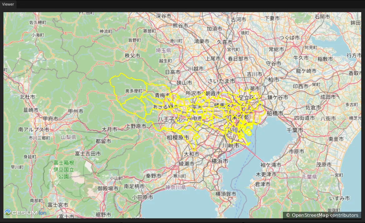
Map data from OpenStreetMap.
How it works
Section titled “How it works”The performance option is set inside the layer’s data block, under a
geojson key:
data: { type: "geojson", url: "https://example.com/large-data.geojson", geojson: { useAsResource: true, },}Setting useAsResource: true tells Re:Earth Visualizer to render the GeoJSON
in a way optimized for large datasets. It is recommended for GeoJSON with more
than about 6,000 features.
What’s next
Section titled “What’s next”- Add a layer: the layer basics this guide builds on
- reearth.layers API reference: the full layer and data object