Add a layer
Last updated
By the end of this guide, you will be able to add a layer to the map from your
Plugin—for example, a marker at a specific coordinate. This guide assumes you
are familiar with the basic Plugin structure of reearth.yml and an extension
file.
You add a layer by calling reearth.layers.add with a layer object that
describes the layer’s data and how it must appear. The method returns the new
layer’s ID, which you can keep to modify or remove the layer later.
Sample code
Section titled “Sample code”This example adds a single red marker at a coordinate in Tokyo.
reearth.yml
id: add-layer-pluginname: Add Layer Pluginversion: 1.0.0extensions: - id: add-layer type: widget name: Add Layeradd-layer.js
const layerId = reearth.layers.add({  type: "simple",  data: {    type: "geojson",    value: {      type: "FeatureCollection",      features: [        {          type: "Feature",          properties: {},          geometry: {            type: "Point",            coordinates: [139.97422779688281, 35.74642872517698],          },        },      ],    },  },  marker: {    style: "point",    pointColor: "#ff0000",    pointSize: 12,  },});
if (layerId) {  console.log("Layer added with ID:", layerId);} else {  console.log("Failed to add the layer.");}
reearth.camera.flyTo(  {    lat: 35.74642872517698,    lng: 139.97422779688281,    height: 200000,  },  { duration: 2 });
Result
Section titled “Result”When the widget loads, the camera moves to Tokyo and a red marker appears on the map at the specified coordinate.
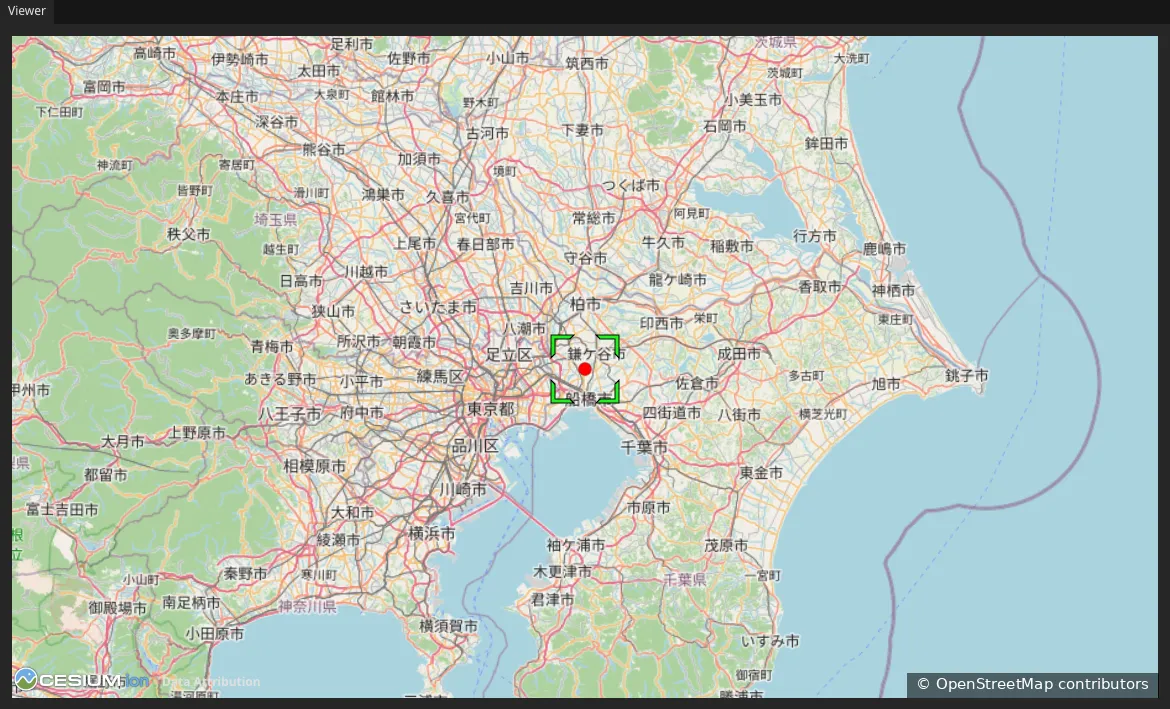
Map data from OpenStreetMap.
How it works
Section titled “How it works”You pass a single layer object to reearth.layers.add. The object has three
important parts:
type: The layer type. Use"simple"for layers whose data you provide directly, which covers most cases.data: Describes the layer’s source data:type: The data format. This example uses"geojson". Other supported formats include"czml","csv","3dtiles","kml", and several more.value: The data itself, provided inline. Alternatively, you can provide aurlinstead ofvalueto load data from an external source.
- An appearance key: Tells Re:Earth Visualizer how to render the data. This
example uses
markerwithstyle: "point",pointColor, andpointSize. Other appearance keys includepolyline,polygon, andmodel.
reearth.layers.add returns the new layer’s ID as a string, or undefined if
the layer could not be added. Keep this ID if you plan to modify the layer with
reearth.layers.override or remove it with reearth.layers.delete later.
What’s next
Section titled “What’s next”- reearth.layers API reference: the full layer object, every data type, and appearance options
- reearth.camera API reference:
flyToand other ways to move the camera - Configure an Infobox for a layer: show feature details when a user clicks your layer